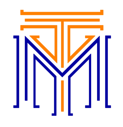
For centuries, humanity has relied on maps to navigate and understand the world. But before we had satellites orbiting the Earth and GPS devices in our pockets, mapmaking was a painstaking and complex process. Early cartographers—whether they were explorers, scientists, or skilled artists—employed a range of techniques and tools to capture the world's landscapes and borders with remarkable accuracy. Here's how they did it.
1. Ground Surveys: The Foundation of Early Mapping
Ground surveying was one of the most common methods of mapmaking before the advent of aerial and satellite imaging. This involved taking measurements directly on the Earth's surface to determine distances, elevations, and angles. One of the earliest and most reliable surveying techniques was triangulation.
- Triangulation: The process of triangulation involves measuring the distance between two known points and then using those points to calculate the location of a third. Using this basic geometric principle, surveyors could map out large swathes of land without needing to measure every inch. By setting up a network of interconnected triangles over an area, they could create a comprehensive and relatively accurate representation of the landscape.
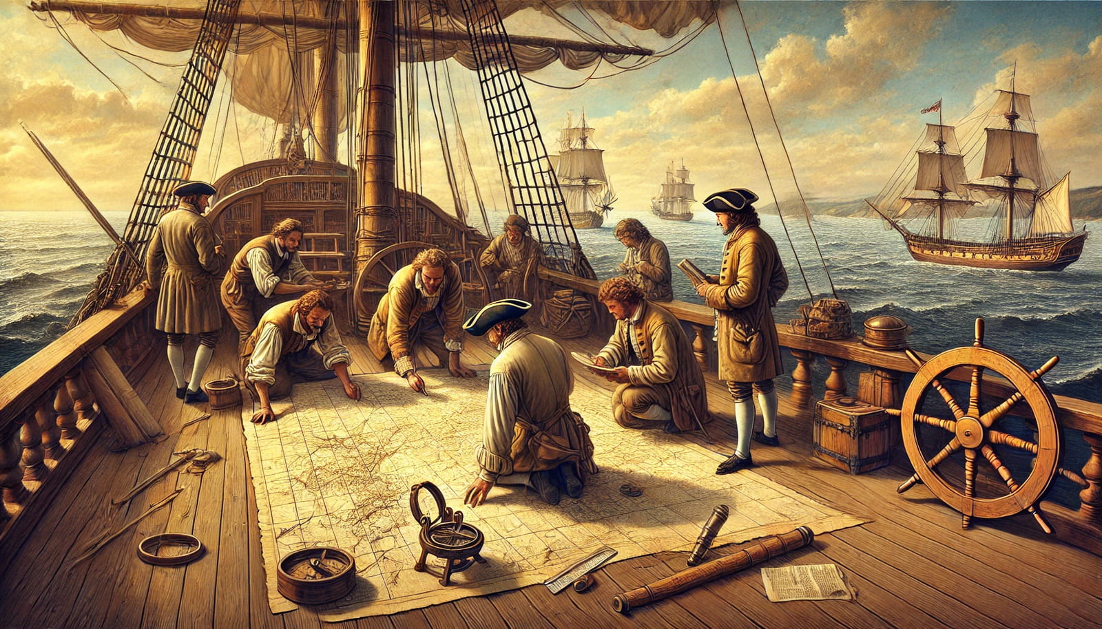
- Tools of the Trade: To carry out triangulation, surveyors used tools like chains, measuring wheels, and compasses. Later, they developed more advanced instruments, such as the theodolite, which could measure both horizontal and vertical angles with precision. The accuracy of these measurements depended heavily on the skill and experience of the surveyor.
2. Astronomical Observations: Using the Stars as a Guide
Before satellites, cartographers often relied on the sky to determine their location and orientation.
- Latitude and Longitude: The concept of latitude and longitude allowed explorers to fix their location on the Earth's surface. Latitude (distance north or south of the Equator) could be determined relatively easily by measuring the angle between the horizon and certain stars. Devices like the sextant and astrolabe were key to these calculations.
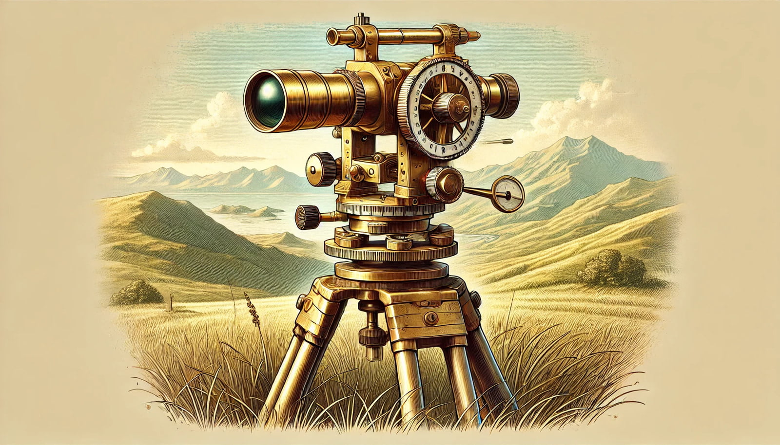
- Chronometers: Determining longitude (distance east or west) was more challenging, as it required knowing the exact time difference between a known location and the surveyor’s position. This difficulty was solved in the 18th century with the invention of the marine chronometer, a precision clock that could keep accurate time even on long sea voyages. By comparing local noon to the time in a known location, navigators could determine their longitude.
3. Compiling Information from Multiple Sources
Cartographers also relied heavily on information gathered by others. They would compile data from explorers, traders, military reports, and travelers to get a better picture of the world. Although these sources could be unreliable, compiling and cross-referencing many observations could help correct errors and inaccuracies.
- Cross-Referencing: Different maps, often created by different cultures or authorities, would sometimes depict varying details of the same region. Early cartographers compared these versions to refine their own maps, leading to more accurate representations over time.
- Local Knowledge: Indigenous communities and local inhabitants often provided valuable insights into their own landscapes, adding to the depth and accuracy of maps. Their understanding of trails, water sources, and natural landmarks was often indispensable.
4. Using Natural Landmarks and Physical Features
Many early maps used topography to help users orient themselves. Natural features such as mountains, rivers, coastlines, and valleys provided natural boundaries and reference points for mapmakers.
- Contours and Elevations: Some maps, especially those of mountainous areas, began to incorporate contour lines to indicate elevation. Though these lines were less precise than modern elevation measurements, they provided a way for users to understand terrain and navigate accordingly.
- Landmark-Based Mapping: By marking notable geographical features on their maps, early cartographers allowed users to orient themselves based on the visible landscape.
5. Precision Instruments and Math: The Birth of Scientific Mapping
By the 16th century, the Renaissance sparked a scientific revolution that brought advancements in mathematics and instrument making, leading to more sophisticated methods of measurement and mapping.
- Mathematical Projections: Mapping the curved surface of the Earth onto flat paper required projections. The Mercator projection, developed in the 16th century, was among the first to represent lines of constant compass direction, making it particularly useful for maritime navigation.
- Surveying Instruments: Instruments like the dioptra, plane table, and eventually the theodolite helped surveyors create more accurate maps over time. These devices allowed for the careful measurement of angles and distances, which were essential for large-scale mapping projects.
6. The Role of Artistry and Imagination
Early maps were not only functional tools but also works of art, often infused with imagination, mythology, and symbolism.
- Hand-Drawn Maps: Every map was hand-drawn, which allowed for a level of artistic freedom. In addition to geography, maps often included drawings of ships, sea monsters, or depictions of indigenous people and flora. This decorative element sometimes led to inaccuracies, but it also made maps more engaging and culturally informative.
- Pictorial Representations: Some maps included representations of regions that were more illustrative than accurate, especially for areas that had yet to be thoroughly surveyed. For example, mapmakers might rely on second-hand descriptions to depict unknown lands, which sometimes led to imaginative interpretations of geography.
7. Military Expeditions and National Surveys
As nations grew and sought to expand, mapping became increasingly important for military and strategic purposes. By the 18th and 19th centuries, many countries undertook national surveys to ensure that their maps were accurate for governance and defense.
- National Surveys: Governments established official bodies to carry out systematic mapping efforts, such as the Ordnance Survey in Britain or the U.S. Coast and Geodetic Survey. These organizations combined many of the previously mentioned techniques with new methods, such as photogrammetry (using photographs to measure distances), to create some of the most accurate maps of their time.
Conclusion: A Legacy of Skill and Innovation
The art and science of mapping before satellites was a complex blend of geometry, astronomy, geography, and human ingenuity. Through ground surveys, celestial navigation, and a willingness to share and cross-reference knowledge, early cartographers provided humanity with maps that were both accurate and beautiful. Their work laid the foundation for modern cartography, proving that with skill, patience, and creativity, it was possible to map the world without ever leaving its surface. Today, satellite imagery and digital mapping owe much to these early pioneers who charted the world, one careful step at a time.